DGA procurement agency firms up Airbus-led digital map project as French armed forces pursue digital transformation process.
The French defence procurement agency, DGA, has awarded the firm tranche of the 10-year SYSENV contract to Airbus Defence and Space and its four partners, for the production of the “SI GEODE4D” information system for the French armed forces.
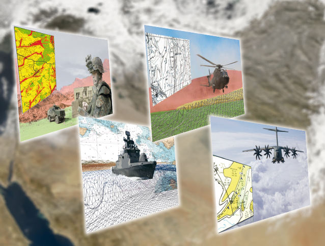
This system is an essential component of the “GEODE4D” programme (geography, hydrography, oceanography and meteorology for defence) and will be available via a single and secure portal. It will allow all stakeholders to access and share the same geophysical environment data and select and present them in a coherent way, according to the “one card for all” principle.
SI GEODE4D, consisting of various services and applications, will provide the armed forces with an interoperable, coherent and shared vision of the geophysical environment, consistent with the NATO REP concept (Recognised Environmental Picture).
The consortium is headed by Airbus Defence and Space with partner companies Magellium (for geography), Météo France International (meteorology, hydrography and oceanography); Bertin (decision-making aids) and Deloitte (change management).
The contract also includes the refurbishment of the geographical and meteorological–oceanographic data production centres in Creil, Haguenau and Toulouse. In particular, this refurbishment is designed to meet the need for the increased volume and transmission rates involved in the visualisation of all the environmental data on the future GEODE4D portal.