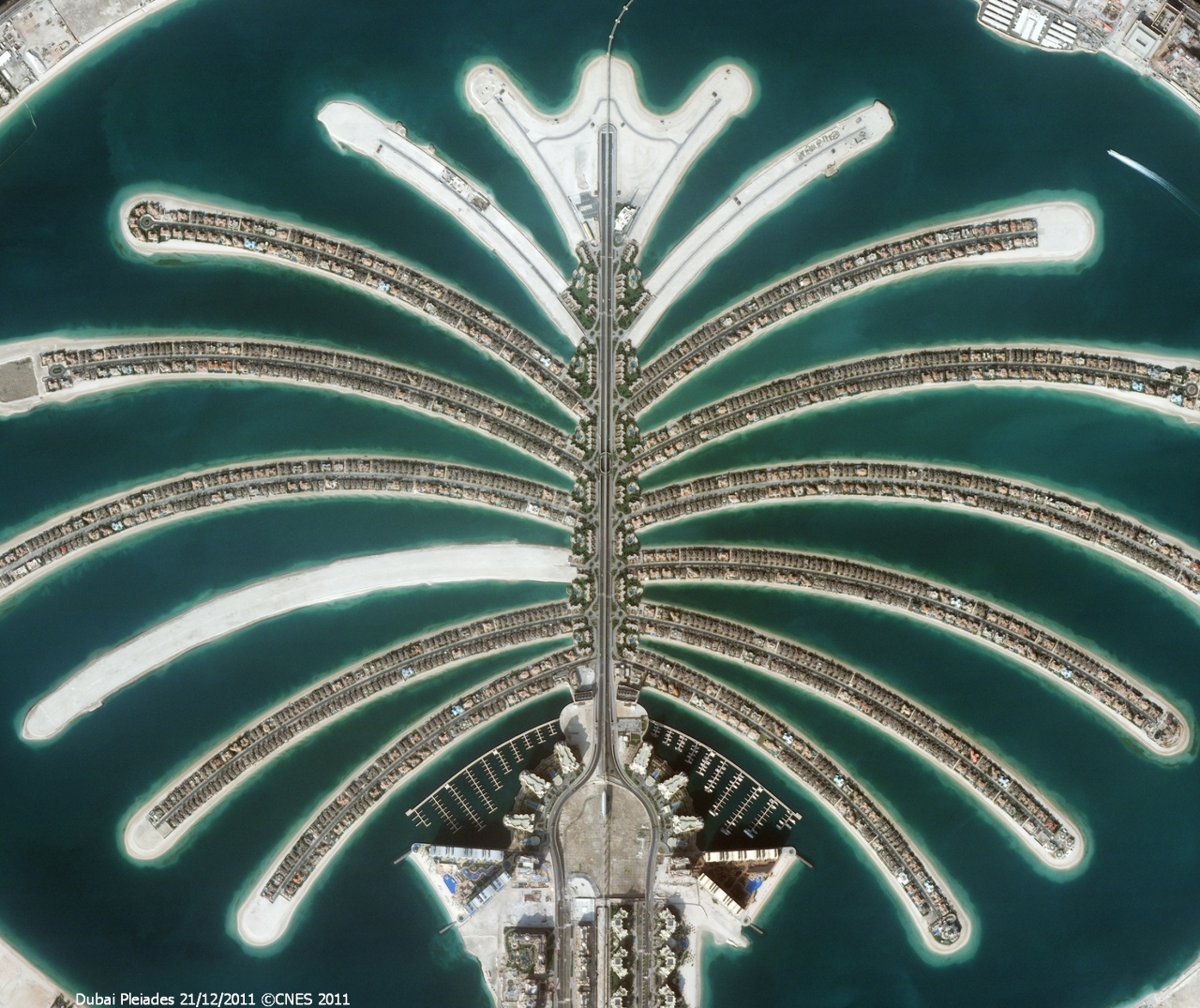
Airbus Defence and Space has concluded a partnership agreement with Bird.i, a global platform for accessing satellite, airborne and drone imagery. The objective of the two partners is to allow real-time on-line visualisation of Pléiades and SPOT satellite images, and support the development of new applications and services across a wide range of related analytics markets.
Founded in 2016, Bird.i has developed a plug-and-play Application Programming Interface (API) for mapping and location-based applications for a variety of professional and leisure needs. As part of this agreement, Bird.i will have on-line access to One Atlas, the satellite image library developed by Airbus.
Bird.i founder and CEO Corentin Guillo said the two companies will collaborate “to streamline the overall process of image consumption."
Based in Glasgow, U.K., Bird-I says it curates more than 10 million sq km of up-to-date satellite, airborne, and drone imagery every day, all offering 1.5m resolution or better.

