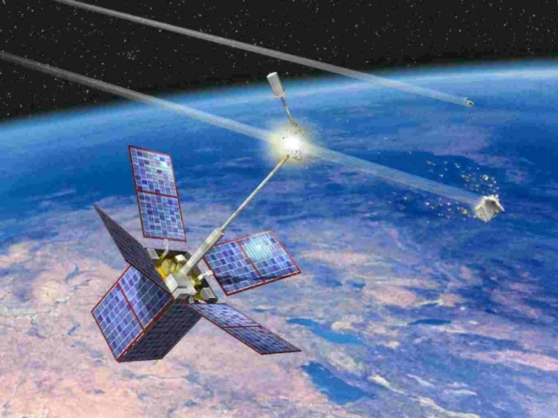
A new data-gathering network, called OrbitOutlook, aims to vastly improve the capability of the U.S. military and the global space community to make decisions about potentially hazardous space objects in near real time.
Tracking the more than 500,000 pieces of manmade space debris is essential to protect existing commercial and government satellites and to ensure that paths to critical orbital locations stay clear and safe for future space assets.
Debris tracking requires knowing the location and behavior of space objects through persistent monitoring of the satellite population from as many sensor sources as possible. The historical steward of this responsibility has been the U.S. Air Force, which operates the United States Space Surveillance Network (SSN), a worldwide network of 29 military radar and optical telescopes.
Over the last few years, the growing commercial space community has developed its own cost-effective networks incorporating hundreds of different sensors. These networks and the SSN cannot easily or quickly share data with each other, however, because such sharing requires manual fusion of data in different formats. Additionally, the SSN can accept data collected only from certified, high-accuracy sensors.
The OrbitOutlook programme of the Defense Advanced Research Projects Agency (DARPA) is working towards overcoming this hurdle. The programme recently completed integration of live data feeds from seven space situational awareness (SSA) data providers that together have more than 100 sensors around the world. DARPA will soon start testing scalable, automated algorithms on this integrated feed, in an effort to identify and extract relevant data that SSA experts could us
Four of the seven data providers are networks that DARPA has developed to integrate SSA data from specific communities of interest:
- StellarView, which uses optical telescopes and passive radio frequency (RF) telescopes at six academic institutions,
- SpaceView, which uses privately owned optical telescopes,
- EchoView, in which DARPA is developing the technology to leverage commercial and civil radars and passive RF telescopes,
- The Low Inclined LEO Object (LILO) detection effort, which is deploying a suite of optical telescopes to Ascension Island in the South Atlantic Ocean to improve detection of space objects in equatorial orbits.
Three commercial and government networks are providing data on a fee-for-service basis:
- ExoAnalytic Solutions, a commercial network of optical and passive RF telescopes,
- Raven, a U.S. government network of small optical telescope systems composed of inexpensive commercial off-the-shelf (COTS) components under development at the Air Force Research Laboratory (AFRL),
- Rincon, a commercial network using passive RF telescopes.
DARPA will be testing algorithms designed to validate the quality of diverse data sets from non-certified SSA sensors in real time and determine if those data sets contain information that human experts can confidently use. Algorithm testing on real data is scheduled to begin in the autumn.

